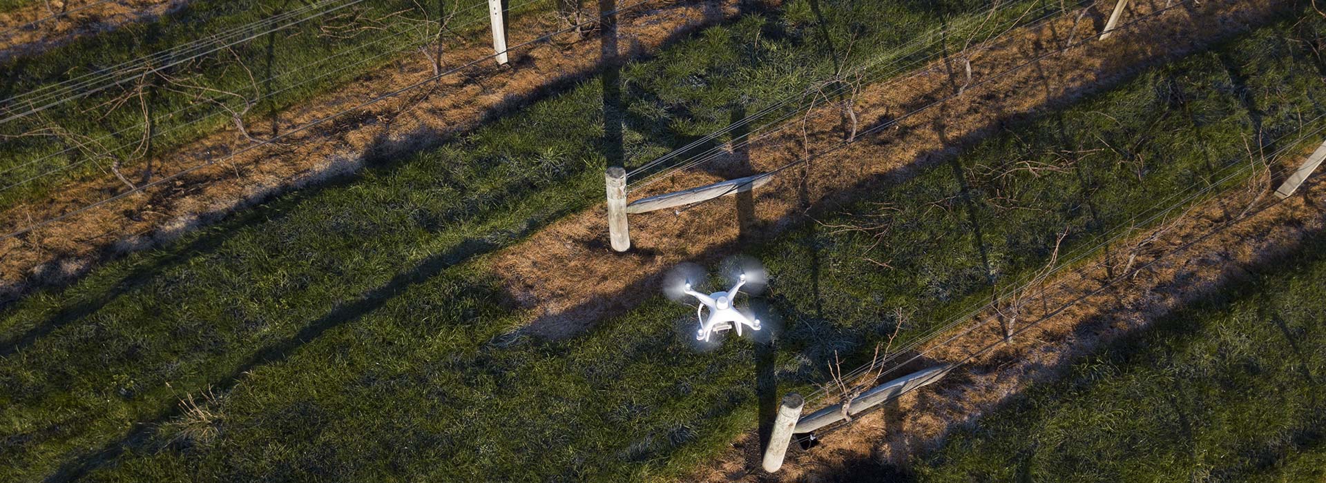
Promann VINEYARD DRONE MONITORING
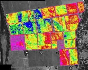
Promann can use a multispectral camera to create a highly accurate NDVI map. The data from that map can be used to create multi-rate fertilizer zones for variable rate spreading/spraying, to monitor irrigation and check for leaks and water stress, disease monitoring and powdery mildew flag shoot detection, nutrition deficiency. This information can be used to significantly reducing the amount of time spent vine monitoring, using this technology, vine monitoring can be done from the sky and vineyard workers can go directly to the vine to verify saving huge amounts of time.
Other services
At Promann solutions, we are able to create highly accurate and highly detailed 2D orthomosaic maps. These maps can be used for accurate measurements for future planning, construction progression, stockpile quantity reports, digital elevation maps, inspections of roofs, and hard to access assets. These maps are verified by using ground control points and highly accurate GPS in the drones used.
Digital terrain model
Using UAV’s, blocks of land can be flown and a digital terrain model can be created to show potential flood prone areas. These can then be used to plan any drainage in future developments